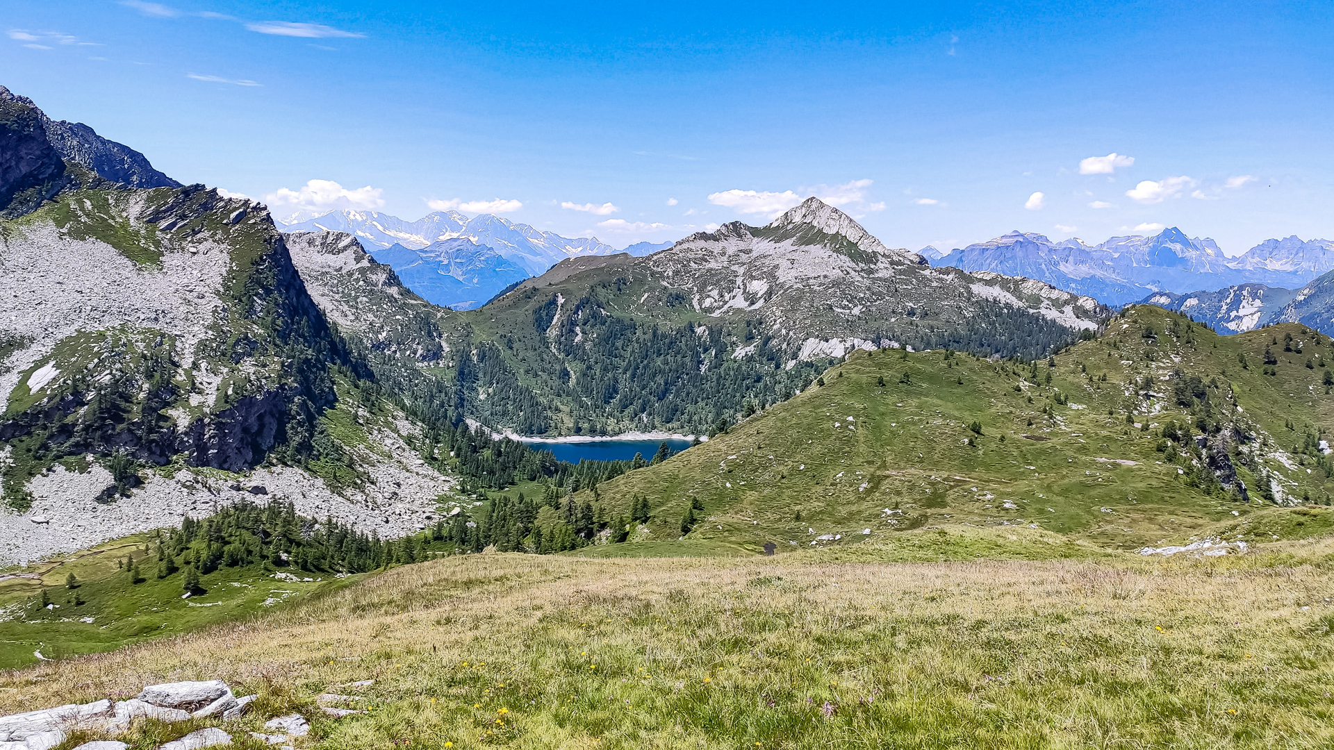
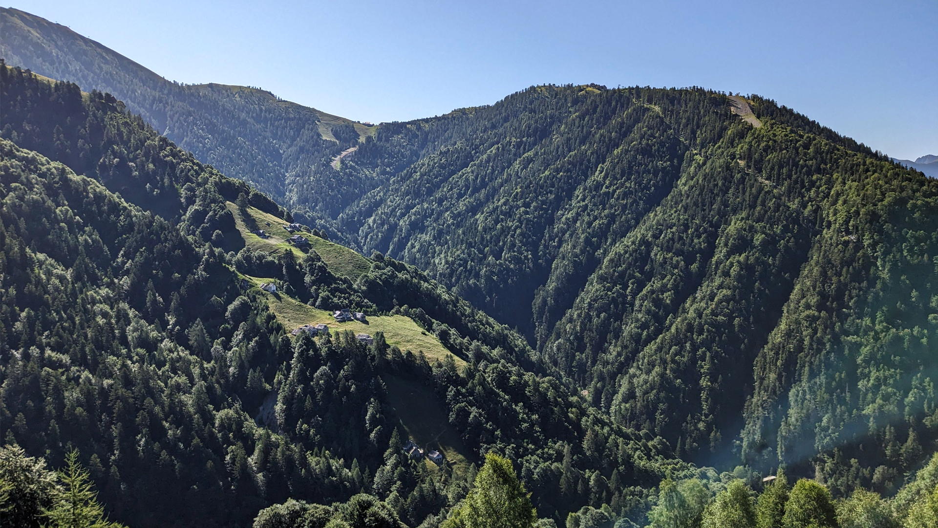
The itinerary starts from Arvogno, in the municipality of Toceno, crosses the high bridges of the Melezzo Orientale and the Rio Verzasco and then follows the ancient mule track that goes up the slope in an alternation of woods, mountain pastures and meadows, in a landscape setting among the richer and more evocative of the Valley of Painters.
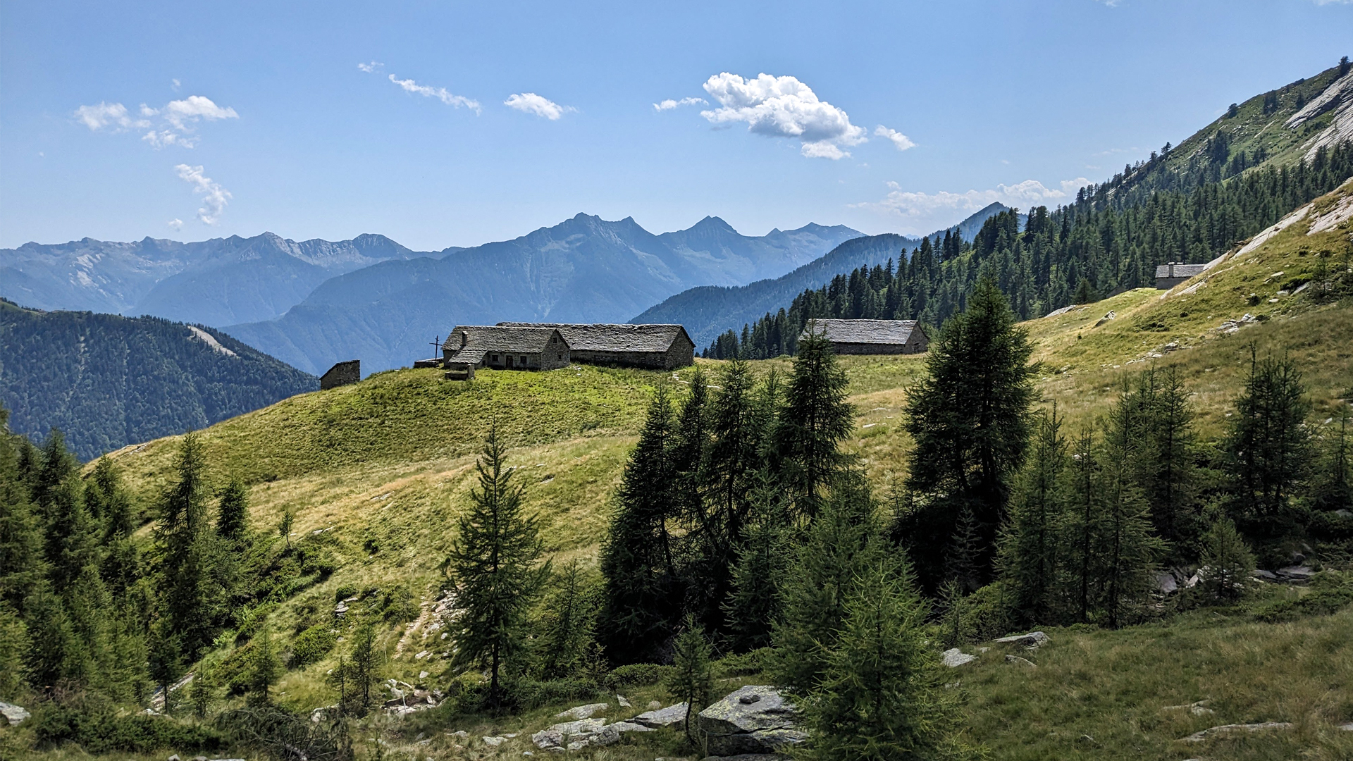
Between Pioda di Crana and Pizzo di Fontanalba, sheltered in a small valley, there is the ancient chapel which has a painting on the front depicting San Pantaleon.
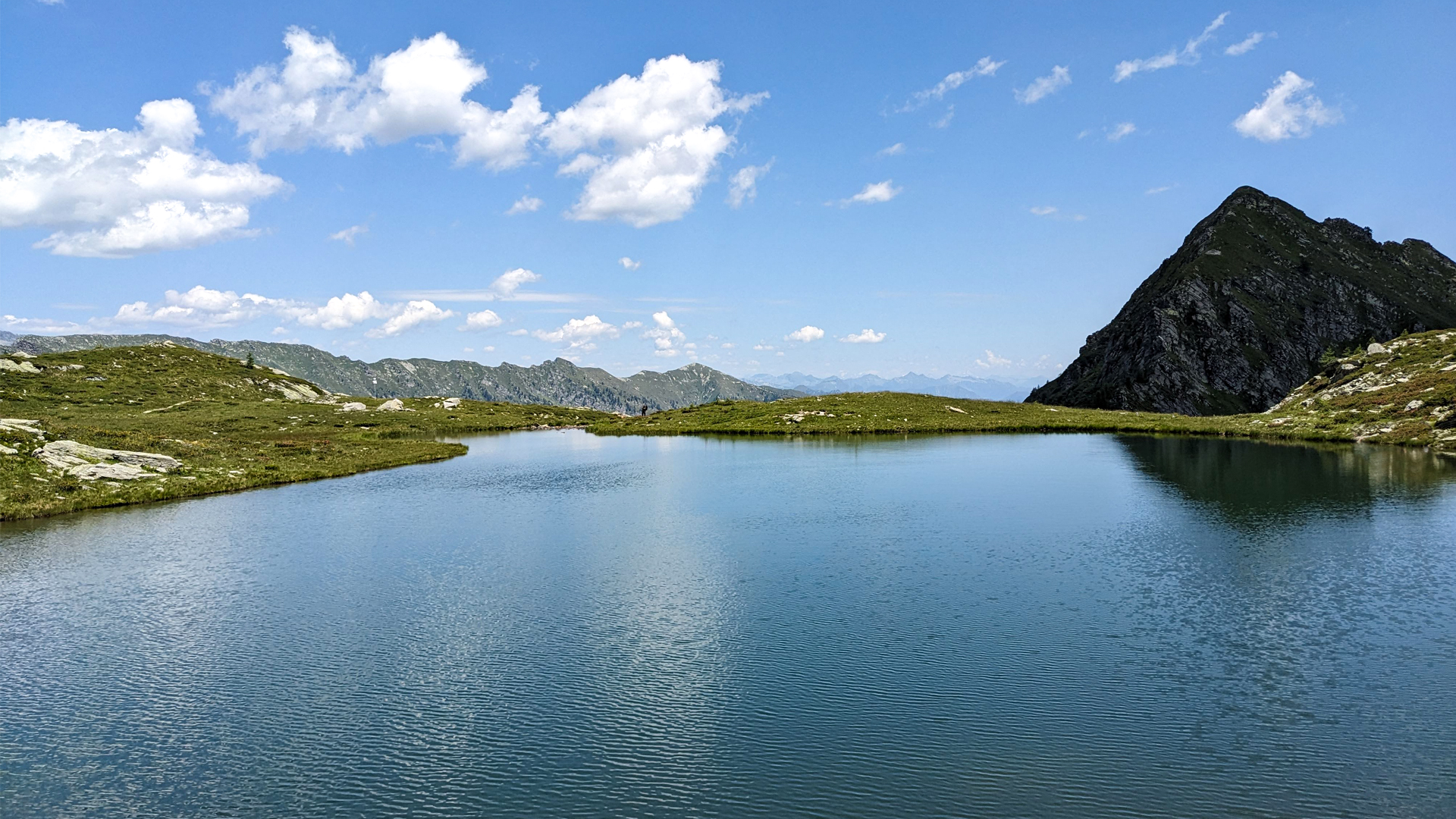
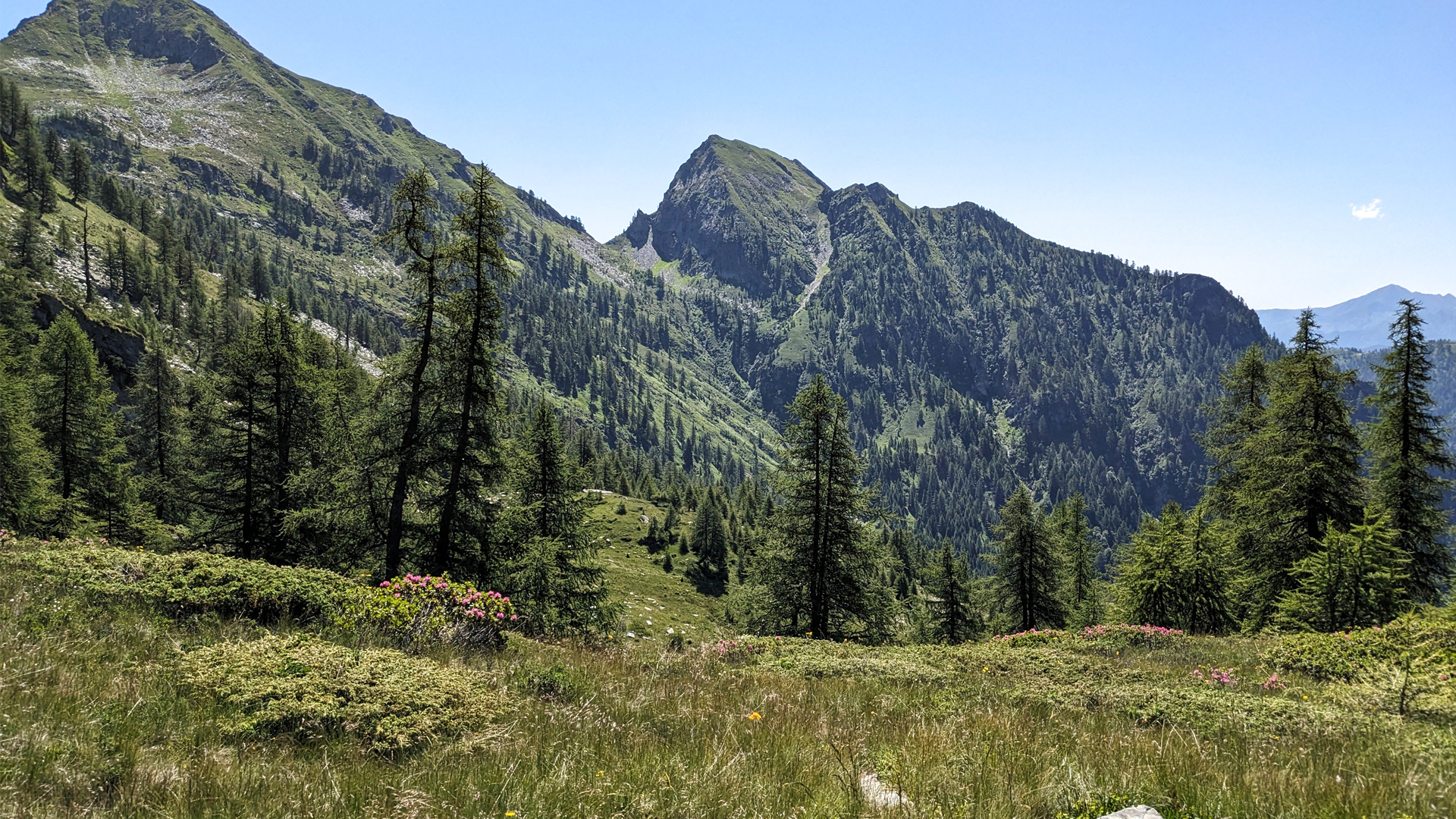
The route continues towards Lake Panelatte, a small lake characterized by the presence of cottongrass: evergreen herbs with singular “spikes” covered with a sort of white down similar to cotton. The name of the lake derives from the habit of the Alpine inhabitants of stopping on its banks and having a short but regenerating meal based on bread and milk. The itinerary finally leads to the Forcola di Larecchio, here the panorama opens up onto the Isorno Valley and Lake Larecchio. At the beginning of the last century these purely natural places became the object of attention from those who saw the possibility of exploiting their characteristics in order to produce energy. This is how the history of the Larecchio basin is linked to that of a large steel company, S.I.S.M.A. of Villadossola. After having built a hydroelectric power plant on the Isorno stream, it became necessary to stabilize the average values of electricity production. The steel production company then decided to build the Larecchio dam, which was completed in 1938, submerging the towns of Larecchio Dentro and Larecchio Fuori.
Erwandert am: 9. Jul 2023

zur Karte gehen


 Streckenlänge:
 Gehzeit:
 Höhenunterschied:
 mind. und max. Höhenmeter:
 Art der route:
 Oberfläche:
 Panorama:
 Netzvempfang:
 Im Winter:
 Mit dem Fahrrad:


