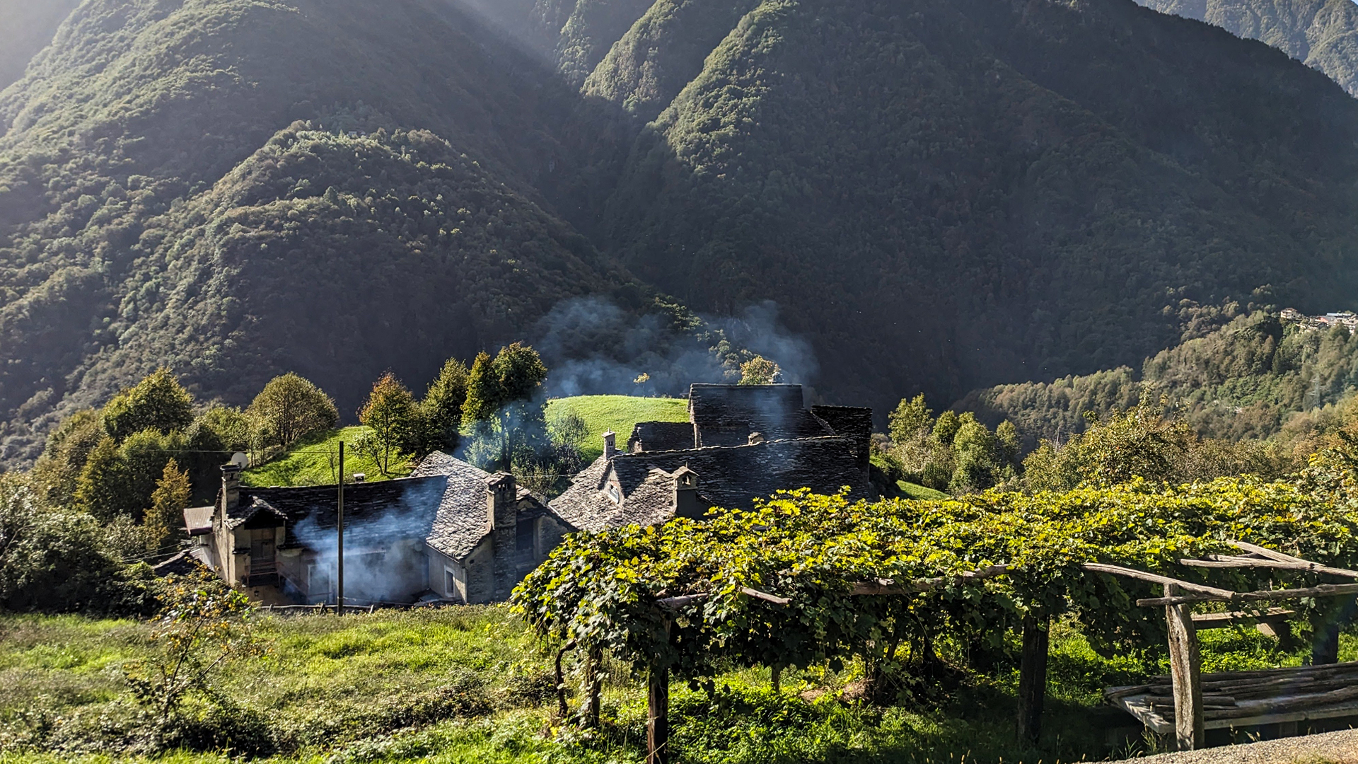
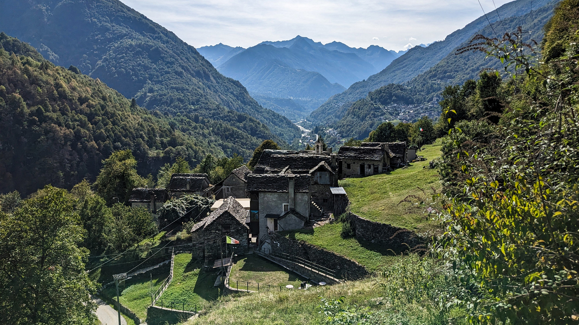
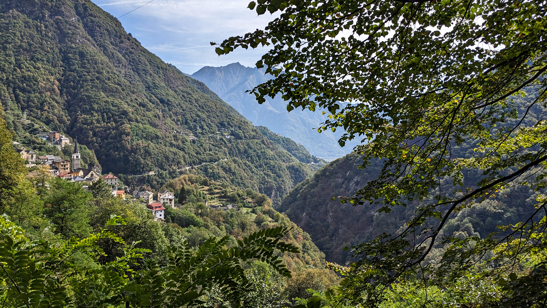
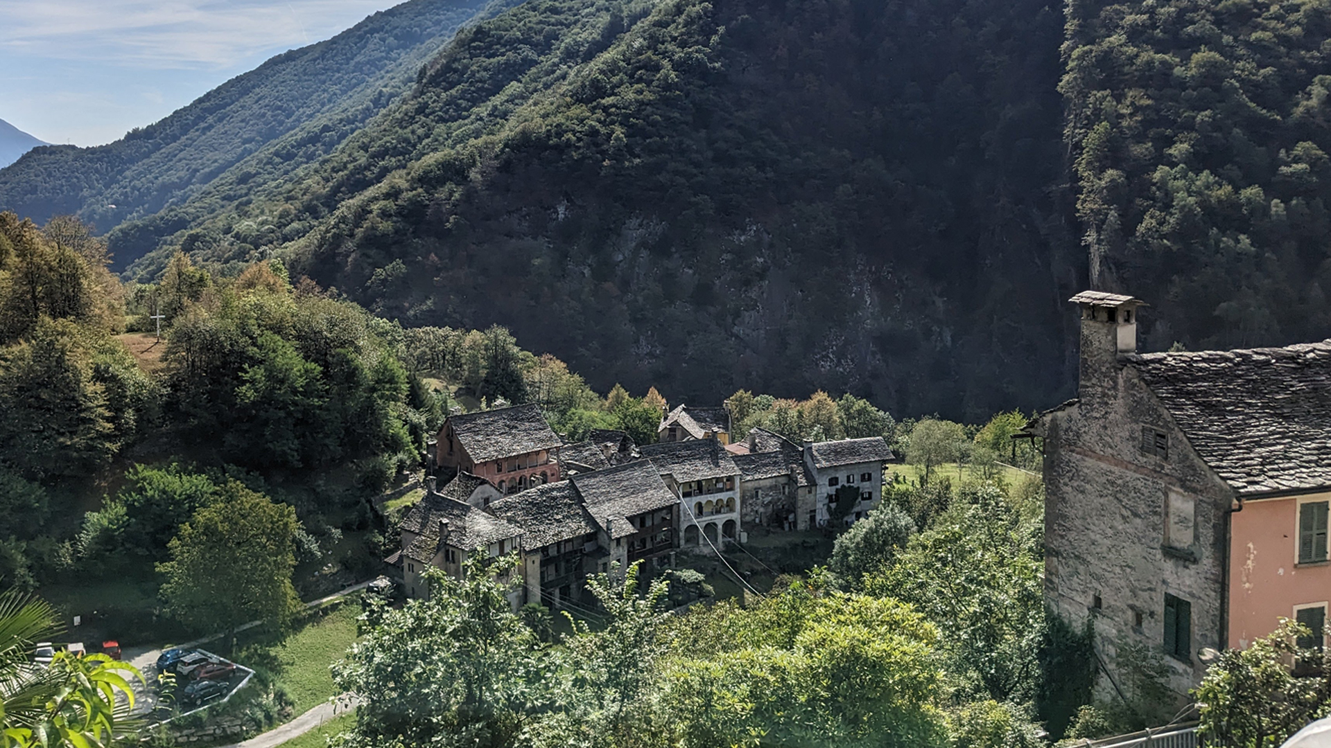
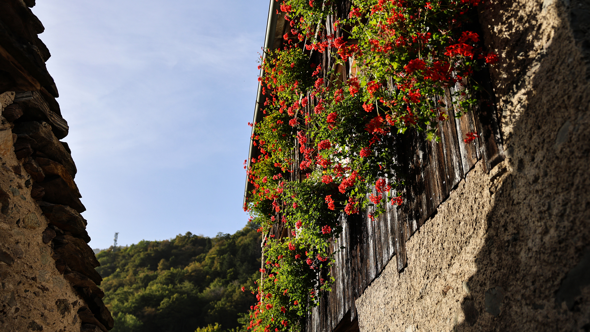
The Via del Pane (path of bread) passes through small rural towns, with stone houses, immersed in enchanting landscapes in the municipality of Calasca Castiglione, in the Anzasca valley. It is a slow-paced itinerary, discovering the most authentic Alpine culture whose common thread is the ancient community ovens that were used for baking bread. Today these centuries-old ovens, partly restored, are still functional and keep the tradition of rye bread alive also thanks to the cross-border festival called Lo Pan Ner - the breads of the Alps, which is celebrated around mid-October.
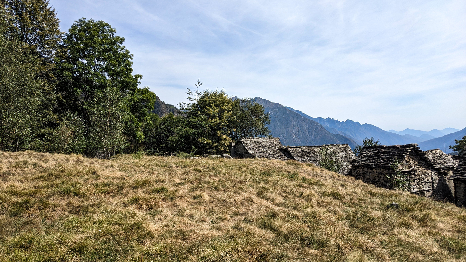
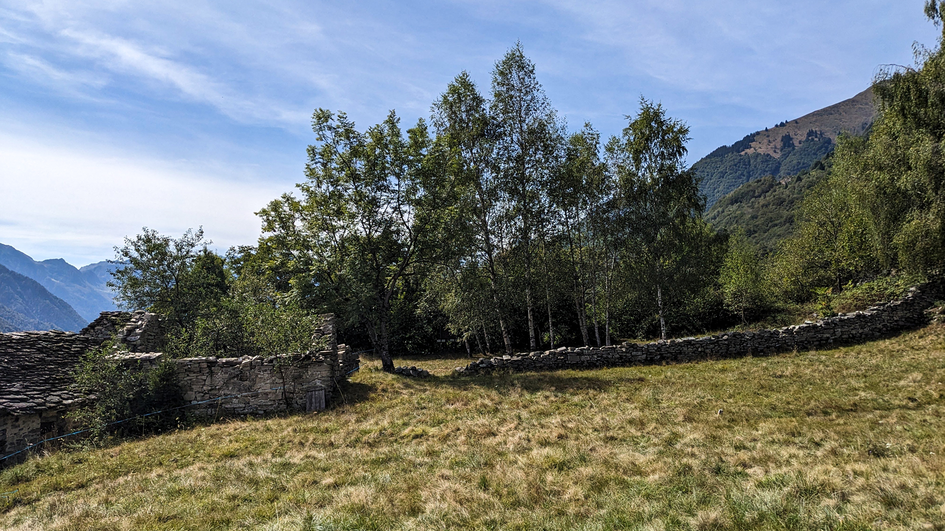
The route develops along ancient mule tracks in a terraced area which, until the last century, was mainly used for the cultivation of potatoes, rye, corn and chestnuts. The visibility of the terraces is now distorted by the advancement of the forest, but once upon a time, this steep slope was masterfully made cultivable thanks to the construction of numerous dry stone walls.
The itinerary passes through small villages, each with its own peculiarities and characteristics, also covering a stretch of Strà Granda, the ancient road that leads from Piedimulera to Macugnaga. The route begins from the Colombetti hamlet, a unique village, which represents the example of Ossola in stone, with its loggia houses and arches. It passes through Uria, Selvavecchia with its terraces, Vilasco with its oven and the mulin dul Gabriel, Cresta which once had so many inhabitants that there were 4 ovens, Drocala, once an important degagna, with its pagan cemetery enclosed by vaulted walls dry, Cà Bison of which today only ruins remain, Ielmala with its still functioning oven, Crotto, Porcareccia, Pecciola and Castiglione where a plaque commemorates the martyrdom of Don Giuseppe Rossi killed by fascists in Colombetti.
Erwandert am: 8. Okt 2023

zur Karte gehen


 Streckenlänge:
 Gehzeit:
 Höhenunterschied:
 mind. und max. Höhenmeter:
 Art der Tour:
 Oberfläche:
 Panorama:
 Netzvempfang:
 Im Winter:
 Mit dem Fahrrad:


