Lade eine App auf Deinem Smartphone-Store herunter, um die GPX-Tracks anzuzeigen.

Einige Apps, wie Komoot und Wikiloc, bieten eine (kostenpflichtige) Track-Navigator-Funktion.
Lade den GPX-Track der gewünschten Tour herunter.
Lade die Strecke* auf die App hoch und folge der Tour, orientiere Dich aber auch an den CAI-Wegweisern.
Vor einer Tour informiere Dich immer über das Wetter!
*GPX-Tracks sind nicht getestet worden.
close info
close info
close

Hike among the beach and the pine grove of Punta della Suina

Walking in the Natural Park of Gallipoli

Apulien

share pinterest share copy share https://www.itinerarium.it/reiseroute/239/punta-della-suina-beach-and-pine-grove
Link copied to clipboard!
open info
length icon Streckenlänge:
5 Km
time icon Gehzeit:
1h30' zu Fuß
climb icon Höhenunterschied:
50 mt
height icon mind. und max. Höhenmeter:
10 mt - 50 mt
track ring icon Art der Tour:
Rundweg
surface icon Oberfläche:
trail
panorama icon Panorama:
sea - Mediterranean scrub
coverage icon Netzvempfang:
groß
winter icon Im Winter:
ja
bike icon Mit dem Fahrrad:
nein

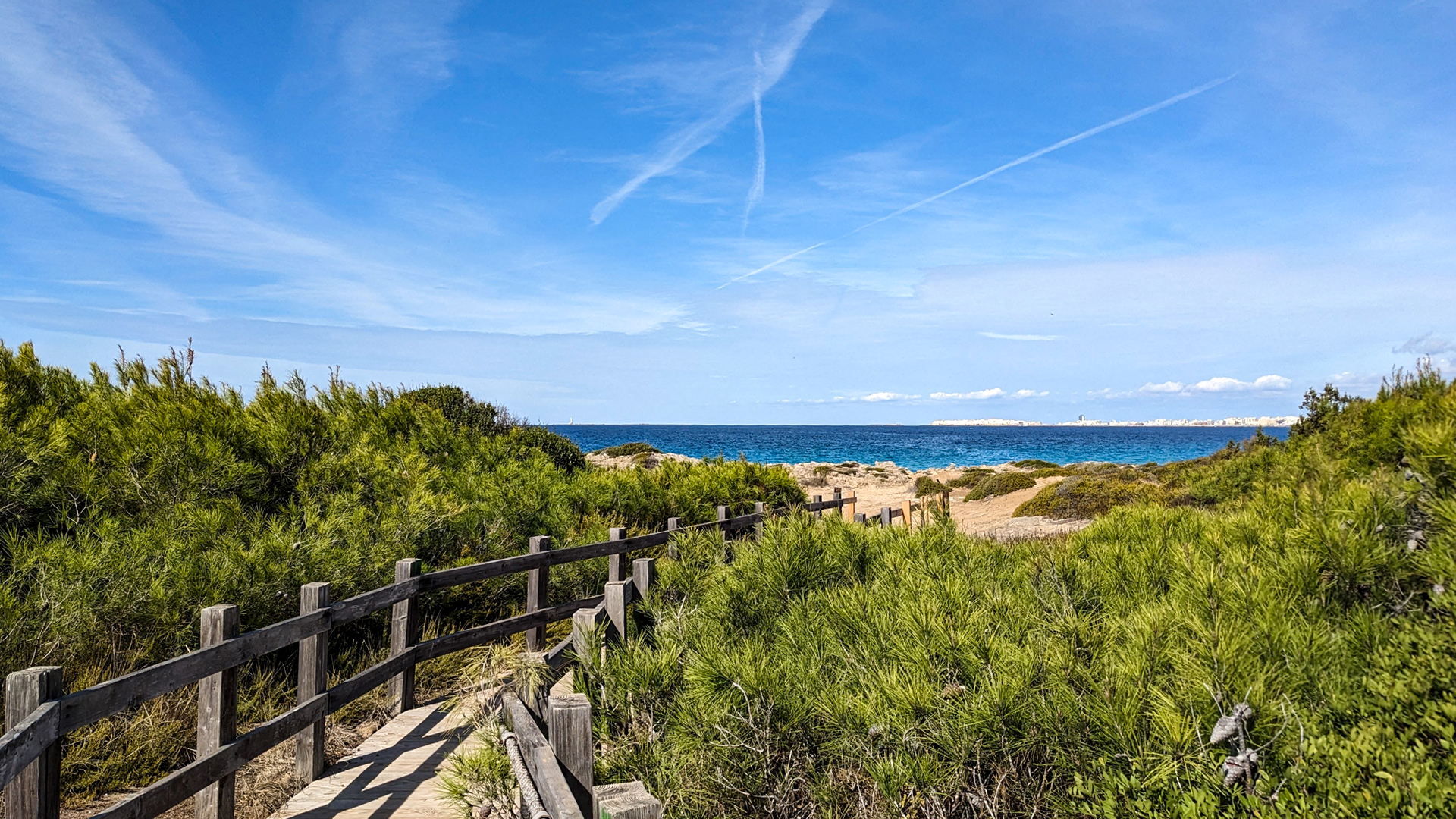
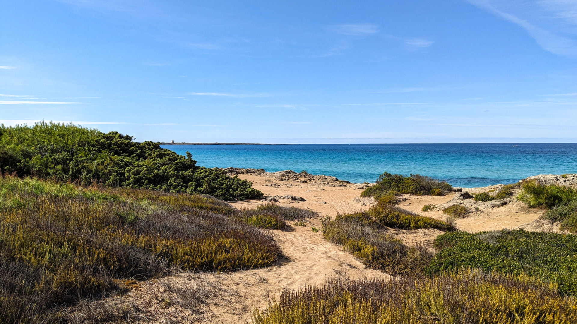
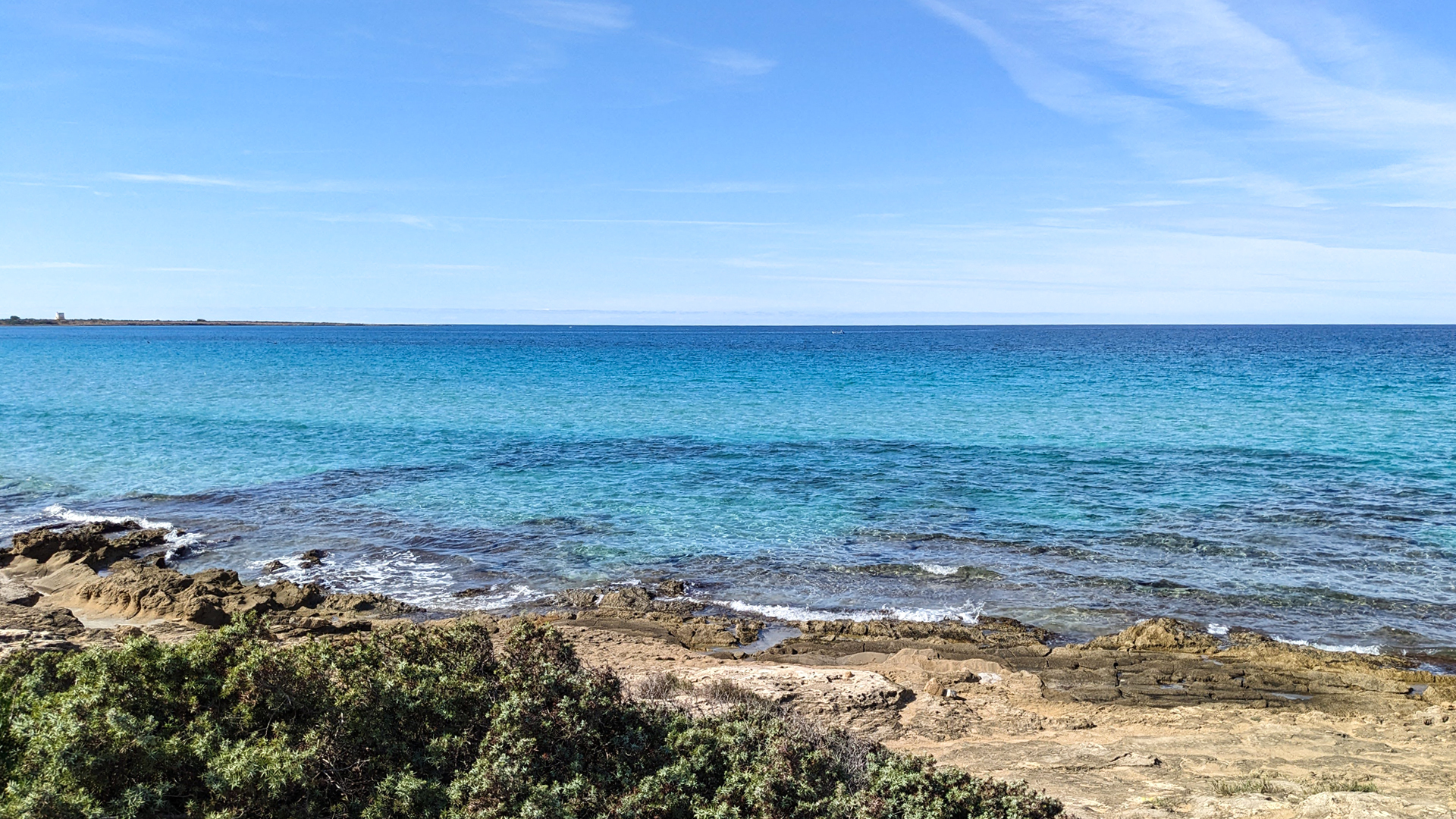
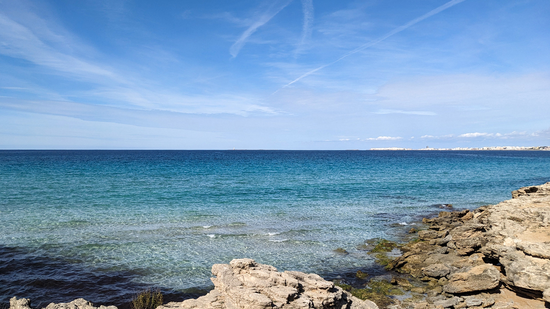
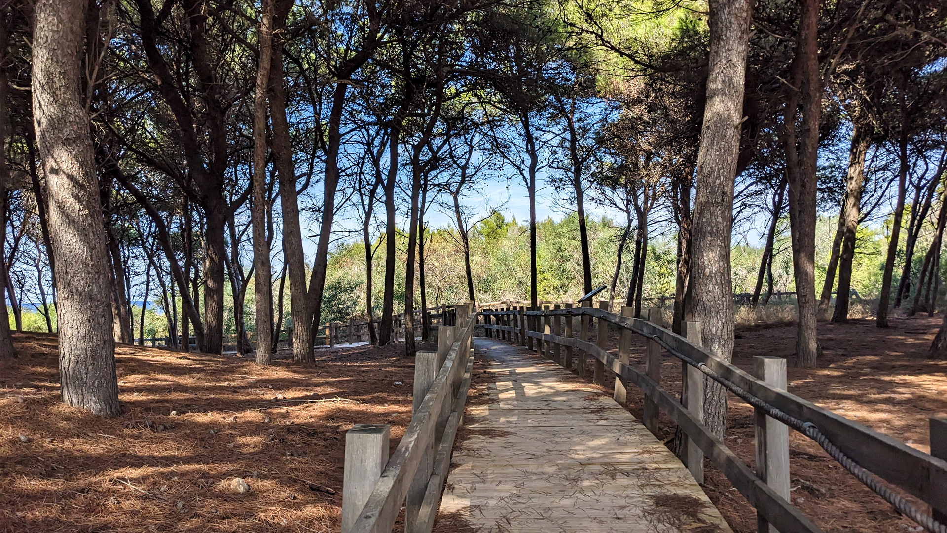
The itinerary crosses part of the Isola di Sant'Andrea Regional Natural Park and the coast of Punta Pizzo between the crystalline beach of Punta della Suina and a fresh pine forest. The path runs through a vast portion of Mediterranean scrub, so rich and varied that in 2020 two researchers from Salento identified a new botanical species, endemic to the area, naming it the Punta Pizzo cornflower.

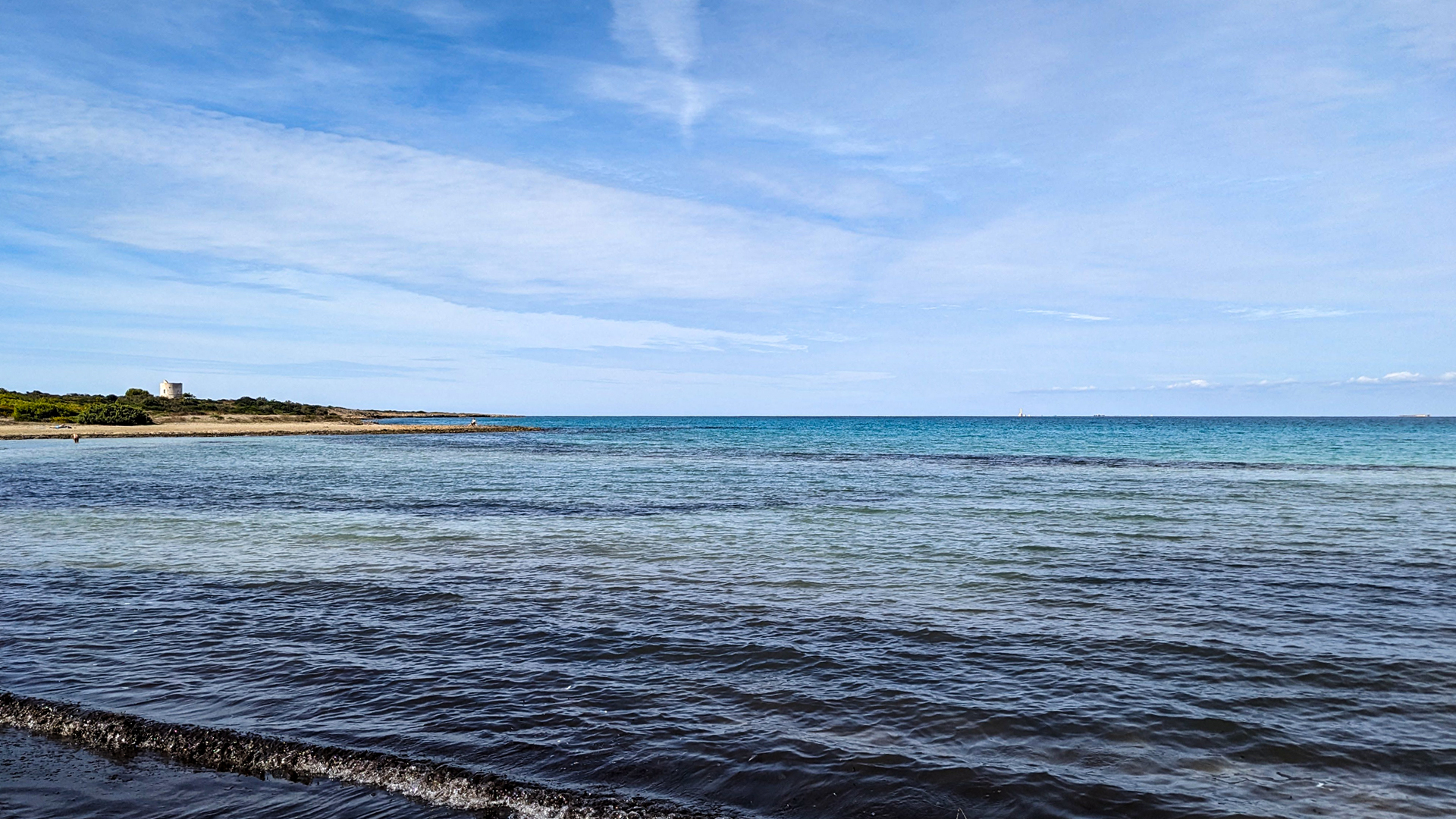
The route overlooks the Gulf of Gallipoli from which you can see the ancient lighthouse of the Island of Sant'Andrea, built in 1866, and the Torre del Pizzo, built in 1569 as part of the defensive system of the Salento peninsula.


Erwandert am: 18. Okt 2023
go to map
zur Karte gehen
ITINERARIUM
shop
Mit Ihren Einkäufen unterstützen Sie das Projekt ITINERARIUM, das weiterhin die Geschichte unseres Territoriums, seine Schönheit, seine Geschichte und seine Kuriositäten erzählen wird, indem es alle Informationen frei zugänglich macht!