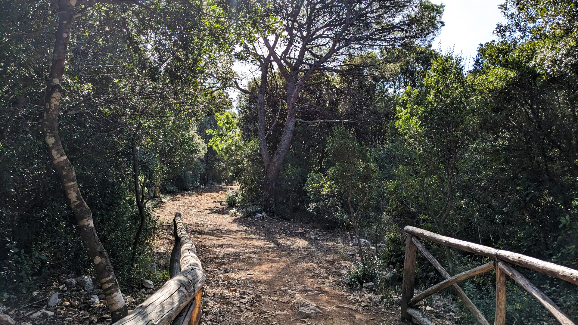
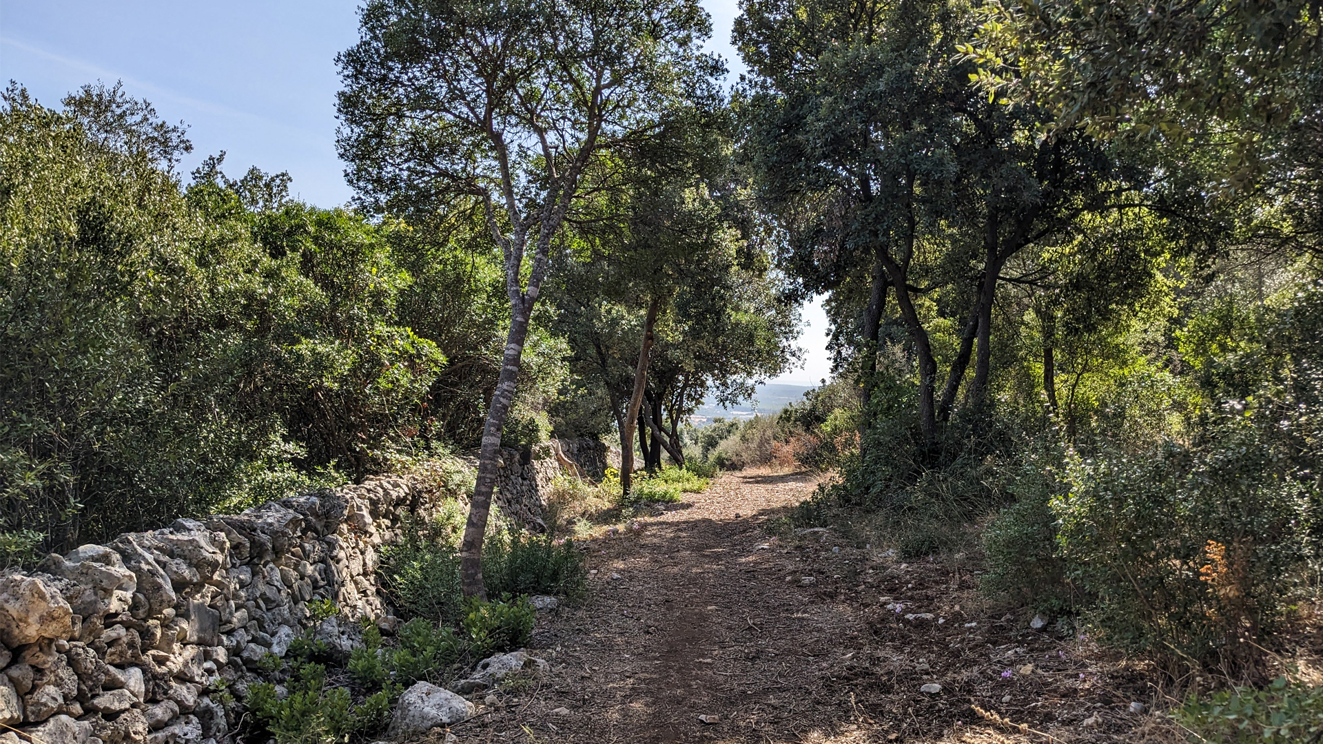
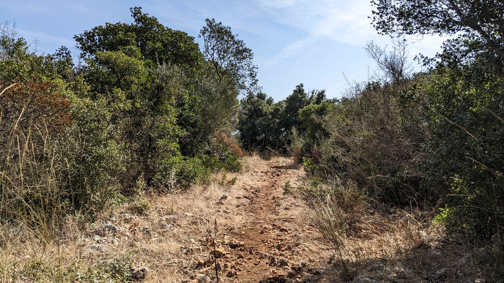
In the municipality of Martina Franca, in the Itria valley, there is the vast Bosco delle Pianelle Natural Reserve, a green lung rich in animal and plant species, which can be entirely visited thanks to a dense network of paths.
The itinerary starts from the Bosco delle Pianelle Visitor Center and immerses itself in the holm oak forest, crosses a stretch of Mediterranean scrub to then reach the vast cultivated clearing. The route partly follows the Via Ellenica of the Cammino Materano which from Alberobello leads to Matera. Along these paths there are Foggia Motolese and Foggia Lama Cupa. The “fogge” are a typical architectural element of the Apulian Murgia landscape, an area so scarce in water that its inhabitants, over time, have had to adopt strategies and techniques to store the precious water, useful for their livelihood and that of their animals. The foggia is therefore an enormous cistern located inside a karst depression called "Lama", created by waterproofing the bottom and the walls and closed at the top by a vault, on which there is a mouth that acts as a well.
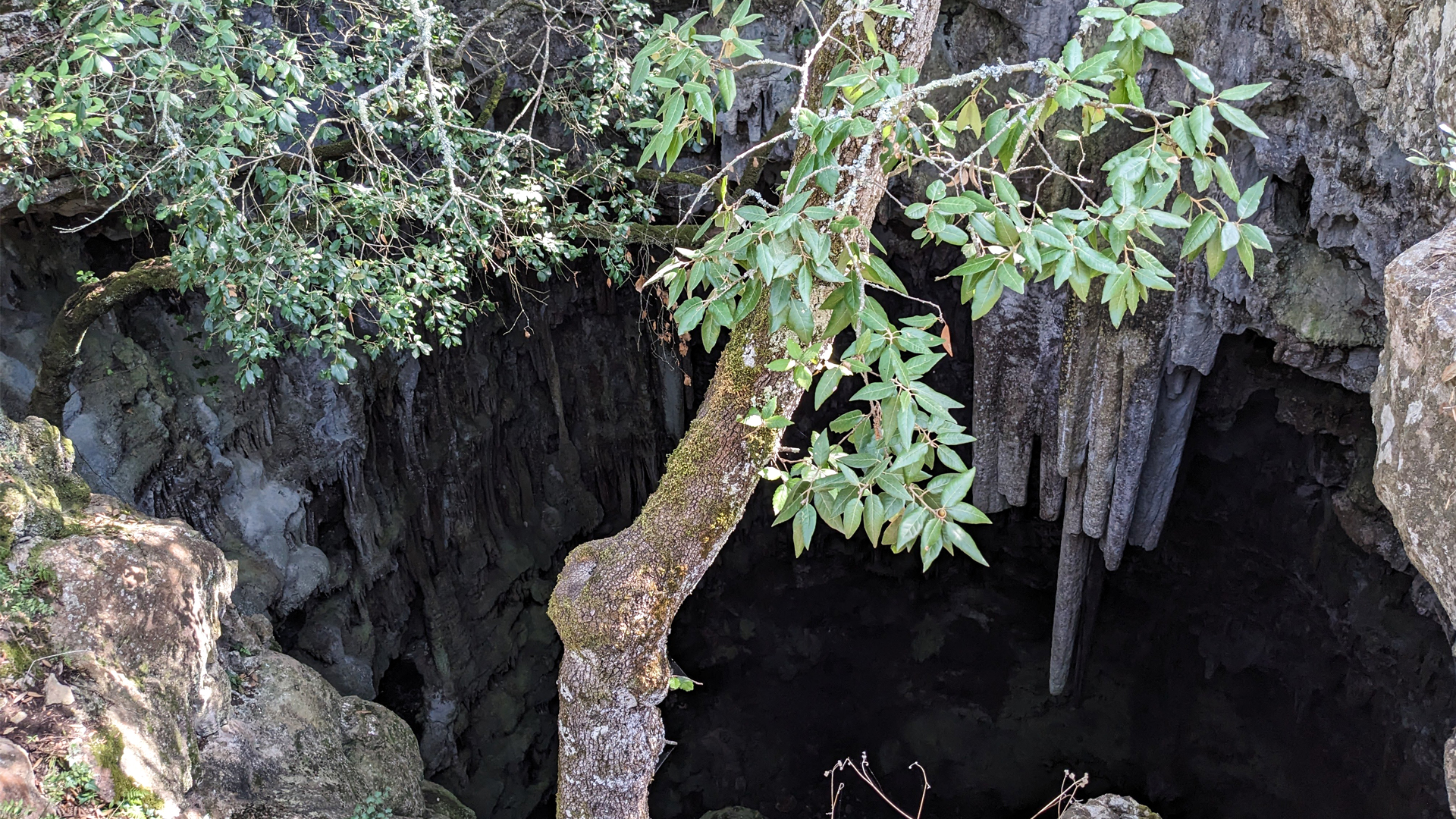
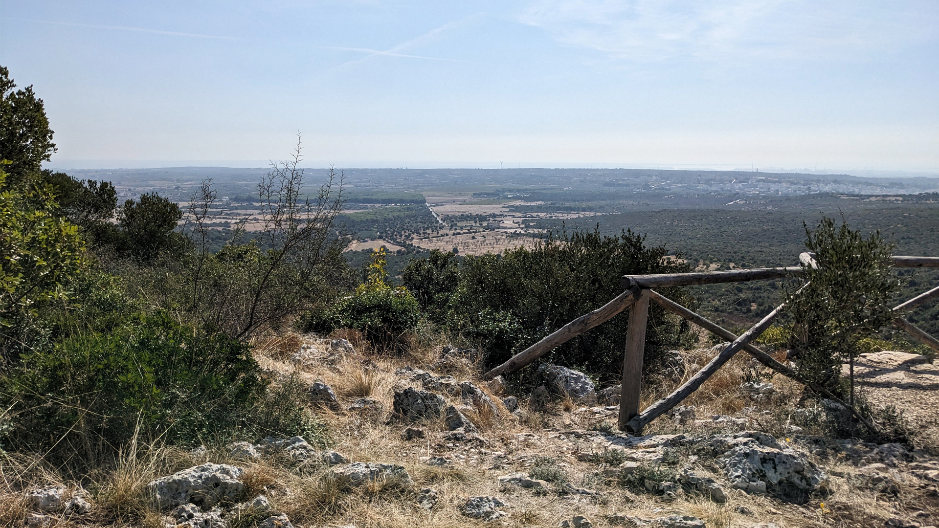
The itinerary reaches a fork: on one side the path leads to the Trullo della Grotta (trullo of the cave) and to the panoramic point from which it is possible to see Taranto and the sea. The path on the opposite side leads to the N'Zirra Cave. Passing a wooden ladder that climbs over a typical dry stone wall it is possible to arrive near the Grave della N'Zirra: a chasm formed by a fossil sinkhole 30 meters deep. The entrance to the cave is vertical and has no protections, while maintaining a safe distance it is still possible to see the enormous stalactites that characterize it.
Erwandert am: 14. Okt 2023

zur Karte gehen


.jpg)
.jpg)


 Streckenlänge:
 Gehzeit:
 Höhenunterschied:
 mind. und max. Höhenmeter:
 Art der Tour:
 Oberfläche:
 Panorama:
 Netzvempfang:
 Im Winter:
 Mit dem Fahrrad:


