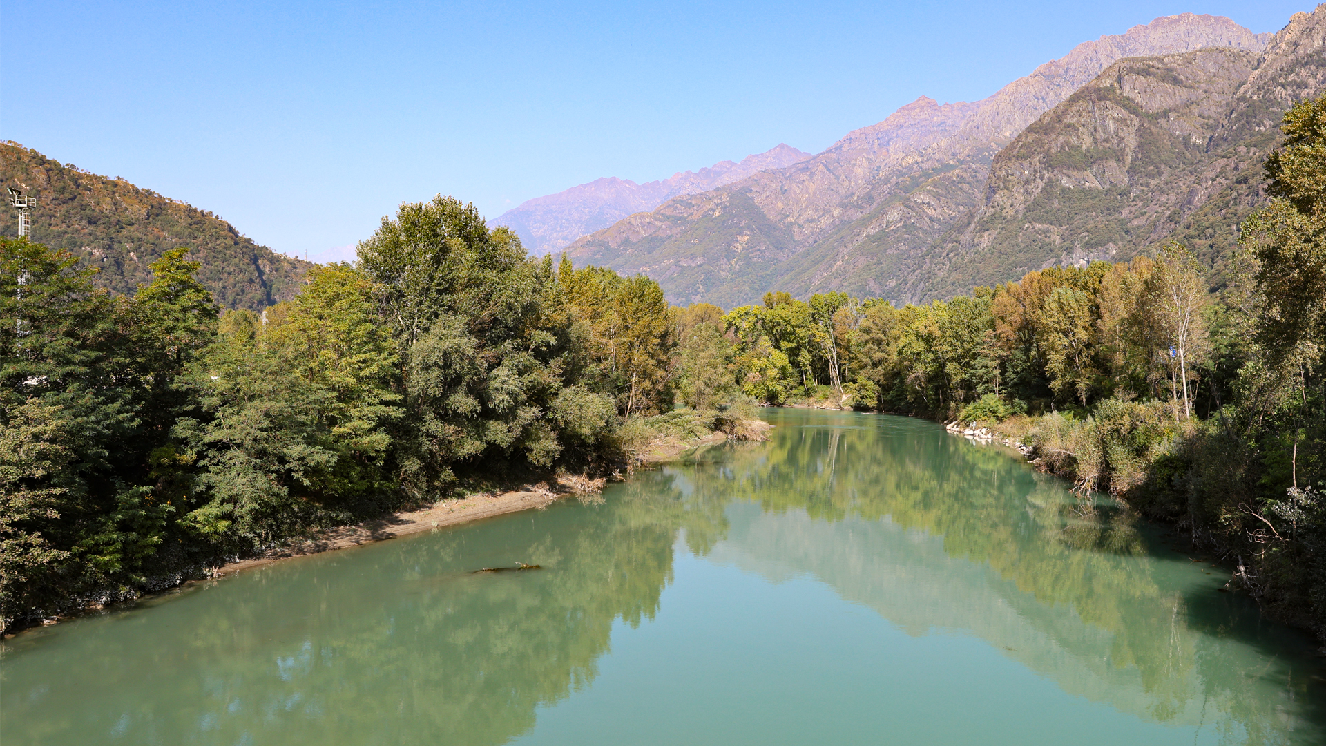
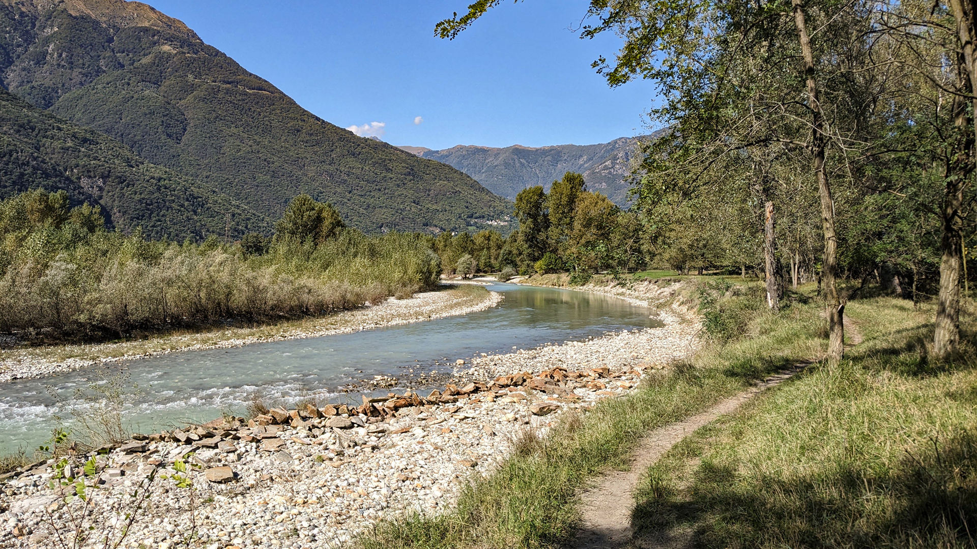
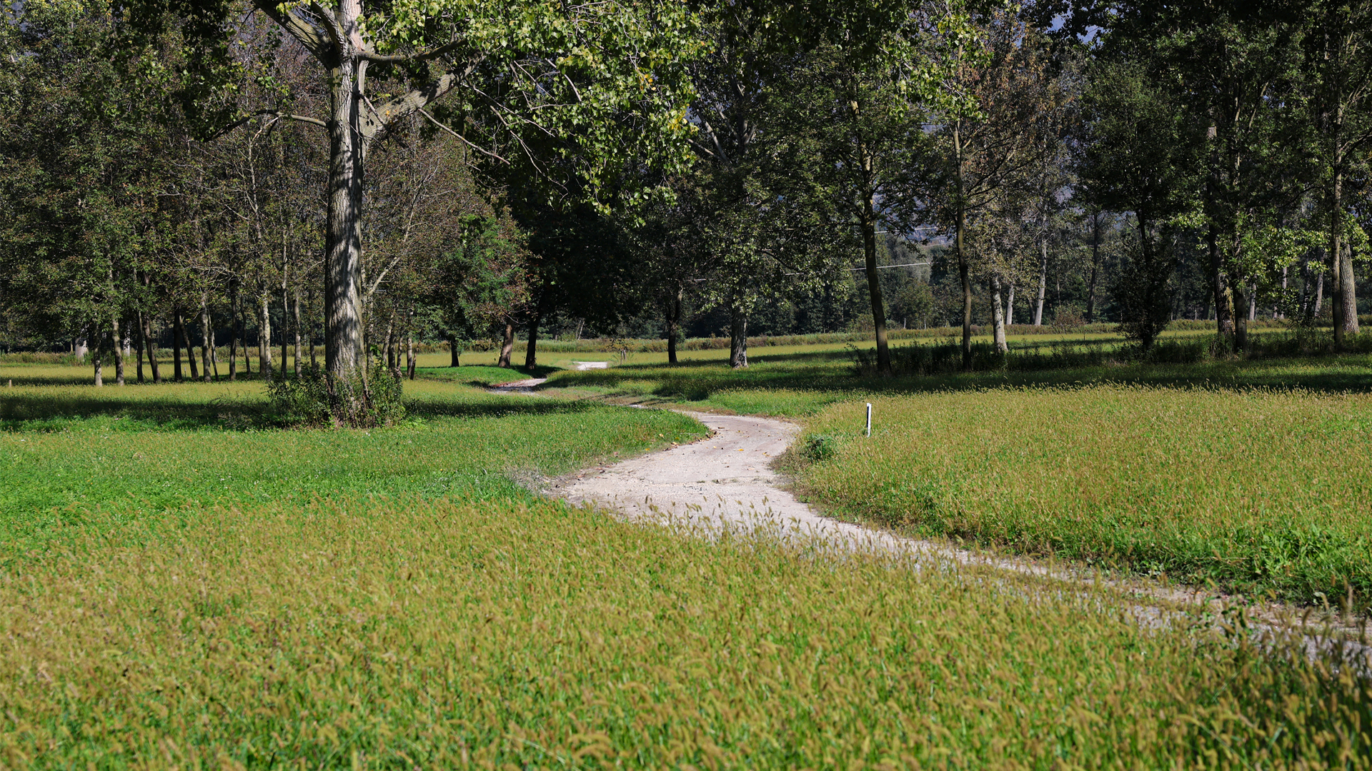
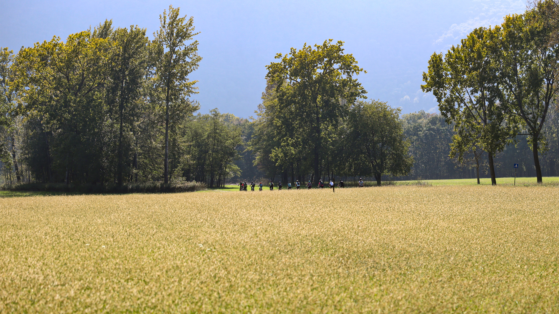
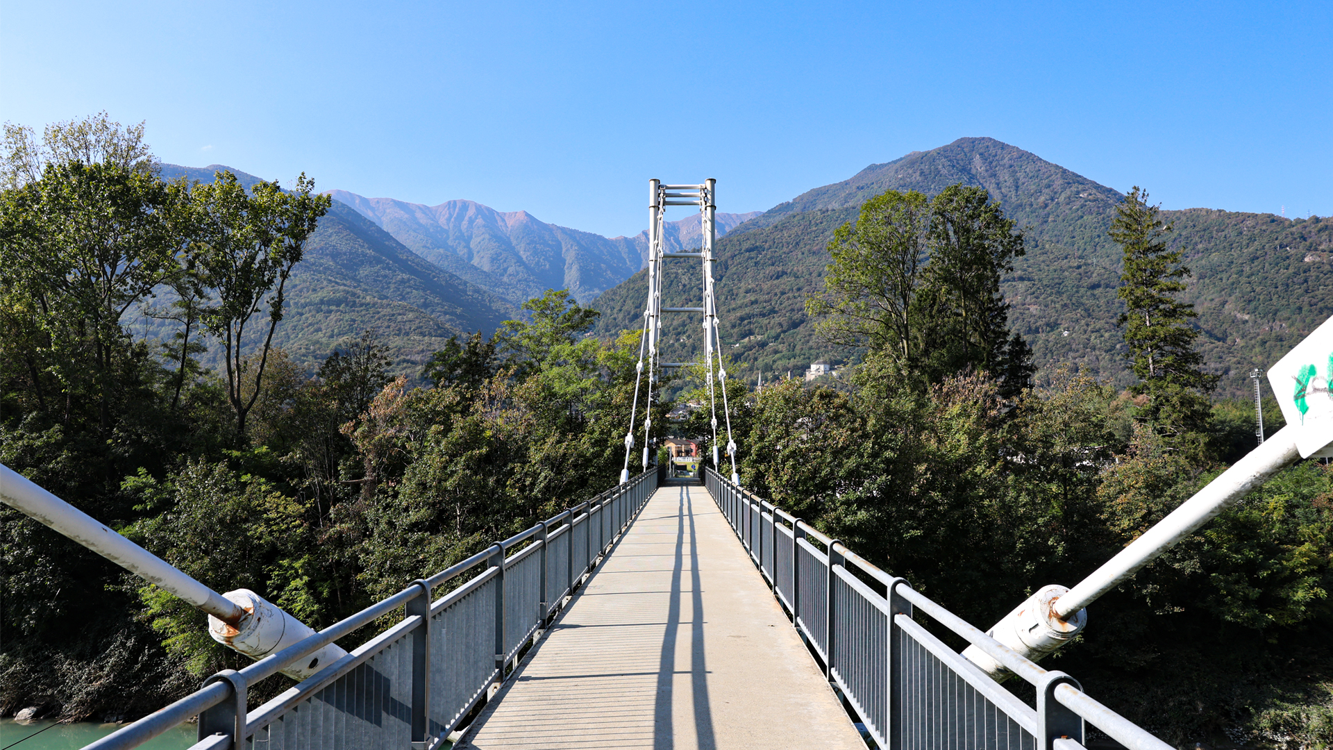
The Toce cycle/pedestrian route connects Lake Maggiore to Domodossola along the Toce and through historic villages and important naturalistic sites. The itinerary starts from the "Verbania-Pallanza" station in Fondotoce and reaches the town of Vogogna, the ancient capital of the lower Ossola. This cycle path offers a rich succession of changing landscapes which explode with colors in the spring and autumn seasons.
To visit along the way:
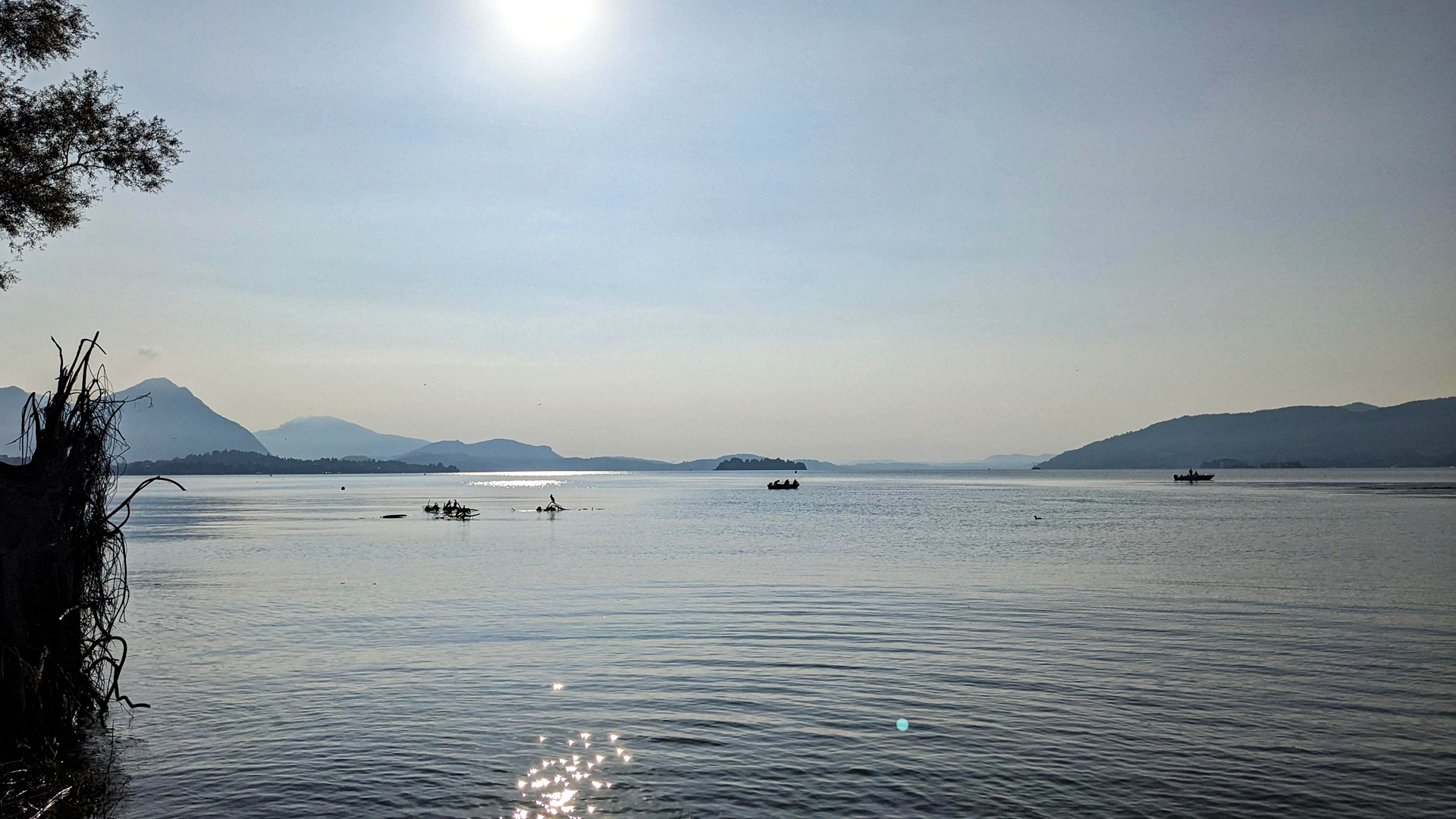
Fondotoce. The Park of Memory and Peace with the imposing Monument in memory of the forty-three partisans executed in 1944, and the House of the Resistance. The route also crosses the Natural Reserve “Canneto” (reeds) with its observatory on Lake Maggiore.
Mergozzo and its hamlet Candoglia from whose quarry the marble of the same name is still extracted today for the Veneranda Fabbrica del Duomo of Milan. The itinerary also reaches the place where the old port was located: a flat terrain that ends with a wall built on the water's surface, necessary to facilitate the docking of the flat-bottomed boats that transported the Candoglia marble by water, up to Milan.
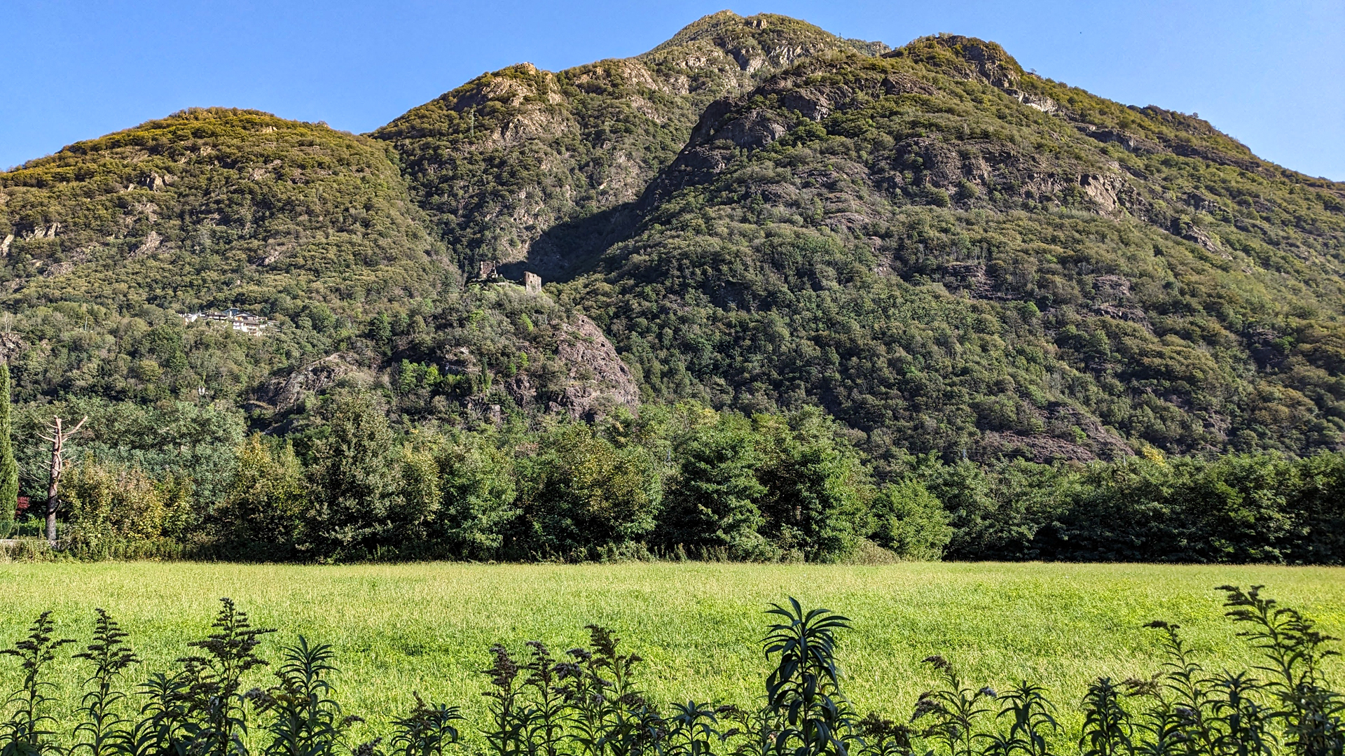
Ornavasso. The itinerary crosses the area of the burial grounds of San Bernardo in correspondence with the imposing major ash tree, registered in the list of monumental trees, and reaches Punta di Migiandone where the military road begins which houses the trenches of the Cadorna Line with its Forte di Bara (which you can reach by mountain bike if you want).
Premosello – Chiovenda. The Bosco Tenso Natural Oasis was established in 1990 to safeguard the last portion of the "tensato" forest, already protected in 1500 as the forest located between the Toce and the crops saved the latter from flooding.
Vogogna, counted among the most beautiful villages in Italy, was the capital of the lower Ossola and in the historic center there are the Visconti Castle and the Praetorian Palace.
Erwandert am: 1. Okt 2023

zur Karte gehen


 Streckenlänge:
 Gehzeit:
 Höhenunterschied:
 mind. und max. Höhenmeter:
 Art der route:
 Oberfläche:
 Panorama:
 Netzvempfang:
 Im Winter:
 Mit dem Fahrrad:


