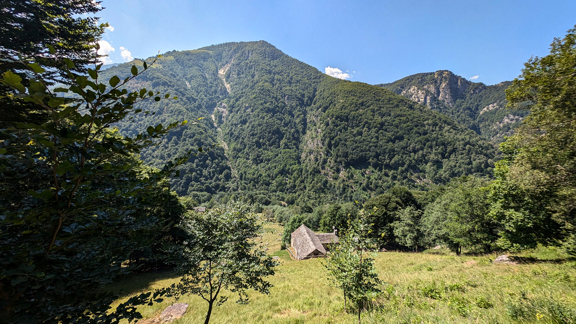
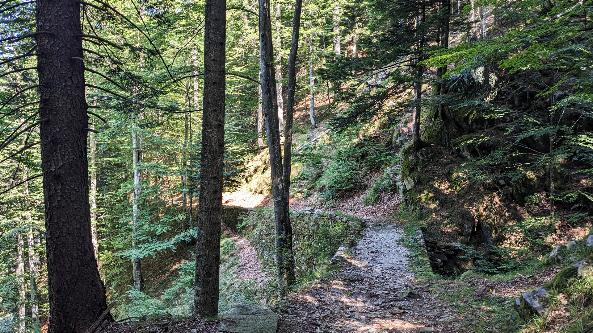
The itinerary starts from Malesco station along the Domodossola-Locarno line of the century-old Vigezzina-Centovalli railway. The circular excursion crosses the Vigezzo village, reaches the Loana waterfall and winds along the course of the Loana stream, in the valley of the same name, through wide trails immersed in the woods.
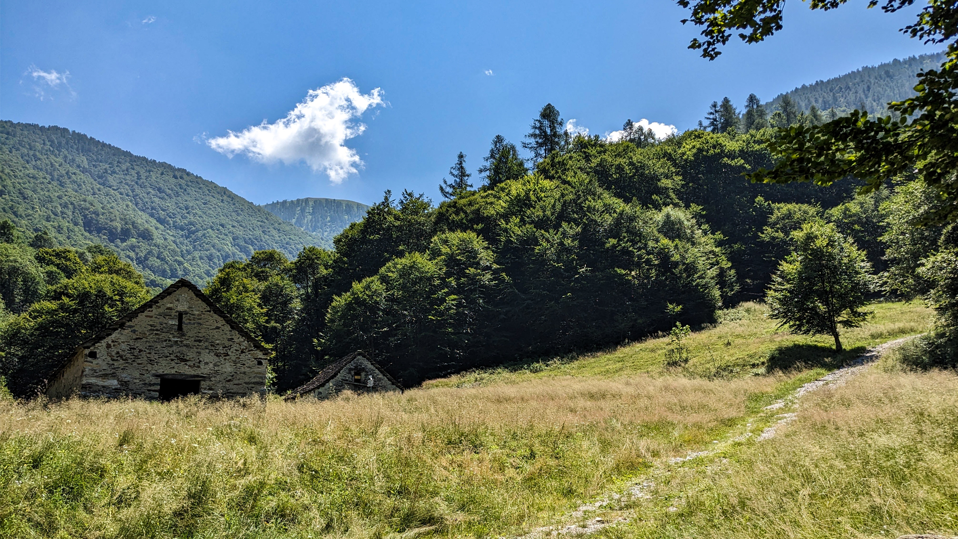
The Loana valley was characterized by the presence of numerous mountain pastures, some private, some municipal, the latter were used by the "bògie", i.e. the collective herds that were formed by the community of Malesco precisely for the purpose of exploiting the high mountain municipal pastures. This was possible because the town was expertly organized according to a direct democracy, which provided that every "Neighbor", that is, every head of the original families of the town, put himself at the service of the community and the community was therefore treated as a large family.
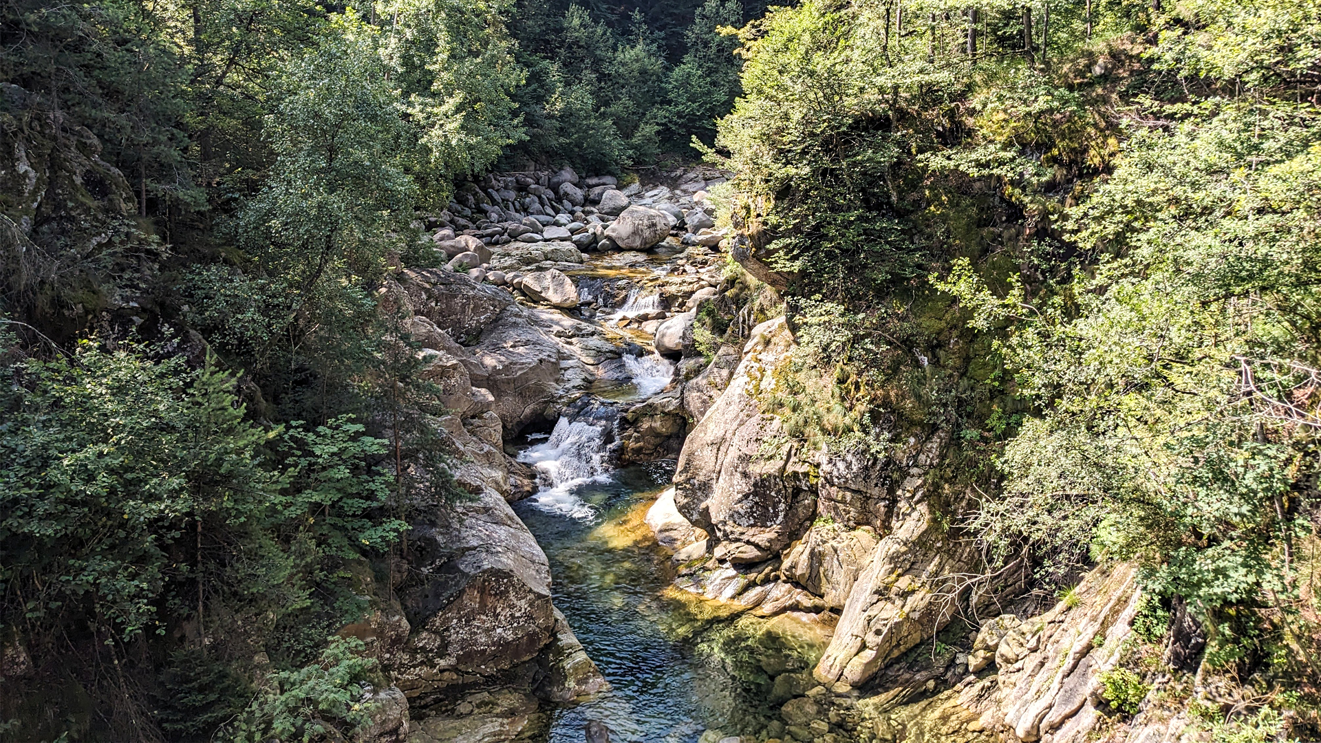
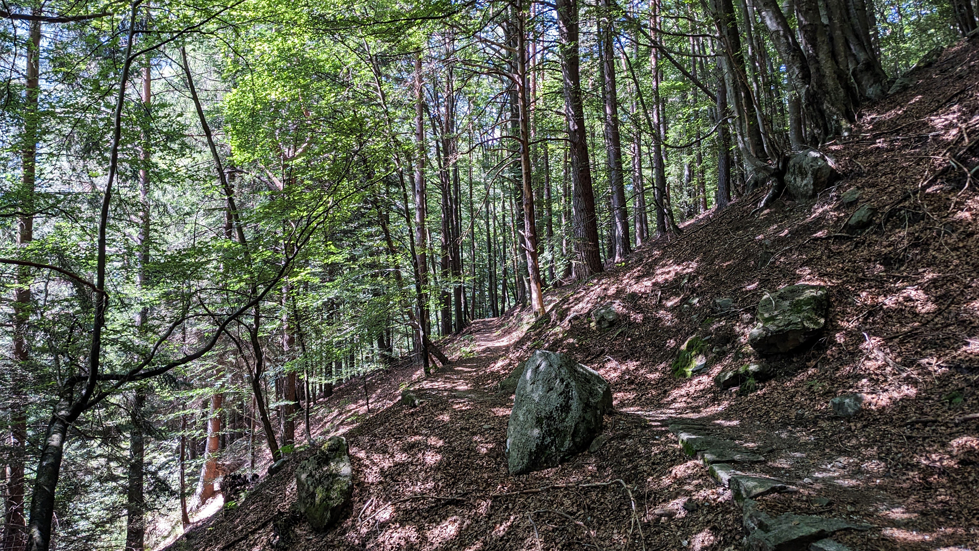
In addition to pastures and mown meadows, Val Loana has always been characterized by large beechwoods which, once upon a time, provided construction timber. The wood was cut and transported by flotation across the Loana torrent to the Vigezzo plain, then along the Melezzo towards the Toce river. The debarked and cleaned trunks took the name of wads and were initially carried by the current and natural buzzes, which were frequent in spring thanks to the abundant rains and the melting of the glaciers. This practice, in addition to being very dangerous, caused enormous damage to the banks, so, in the 18th century, greenhouses (that is, temporary dams), were introduced which in a controlled way were able to increase the flow of the stream to transport the wood downstream. Along the Loana stream, the carvings in the rock walls that were used to house the beams which made up the greenhouse are visible. The beech forests of the Loana Valley were so renowned and precious that the feudal lords of the Alto Novara area, the Borromeo, ordered the delivery of the wood for the construction of their residences on Isola Bella and Isola Madre in 1627, but the community of Malesco, strong in his autonomy and the power of Neighborhood, refused to!
Erwandert am: 28. Jul 2024

zur Karte gehen


 Streckenlänge:
 Gehzeit:
 Höhenunterschied:
 mind. und max. Höhenmeter:
 Art der Tour:
 Oberfläche:
 Panorama:
 Netzvempfang:
 Im Winter:
 Mit dem Fahrrad:


